Sta. Margarita/Gandara, Samar – Officials from the Municipalities of Sta. Margarita and Gandara, along with representatives from the Bureau of Fisheries and Aquatic Resources (BFAR) Samar Province, conducted a joint inspection on January 22nd to clarify the boundaries of their shared coastal waters. This marks a continuation of efforts to identify Coastal Terminal Points (CTPs) throughout the region, following a similar exercise with Calbayog City officials earlier this year.
The initiative is part of a broader strategy by the Samar Sea Alliance of LGUs for Fisheries Management and Development (SASAFMD) to strengthen the implementation of water resource laws and safeguard the region’s sovereignty and jurisdiction. By establishing clear point-to-point boundaries, the alliance aims to improve fisheries management and resource protection.
BFAR Provincial Fishery Officer Juan P. Meniano, Jr., personally participated in the joint inspection, alongside representatives from both municipalities. Vice-Mayor Elias C. Delector of Gandara led Gandara’s department heads and some participating Sangguniang Bayan Members. Led by Sta. Margarita Municipal Agriculturist Daisy Coningco, the municipal team composed of Engr. Angela Cruz Tiangco, Municipal Assessor; Engr. Raymond James Romeo G. Delabajan, OIC-Municipal Planning and Development Officer; Dr. Michael Jude T. Casaljay, Municipal Environment and Natural Resources Officer; Mr. Marlon James R. Catalan, Municipal Information Office Staff and Mayor’s Office representative. The precise locations of the newly defined boundaries were not released publicly, pending further review and official documentation.
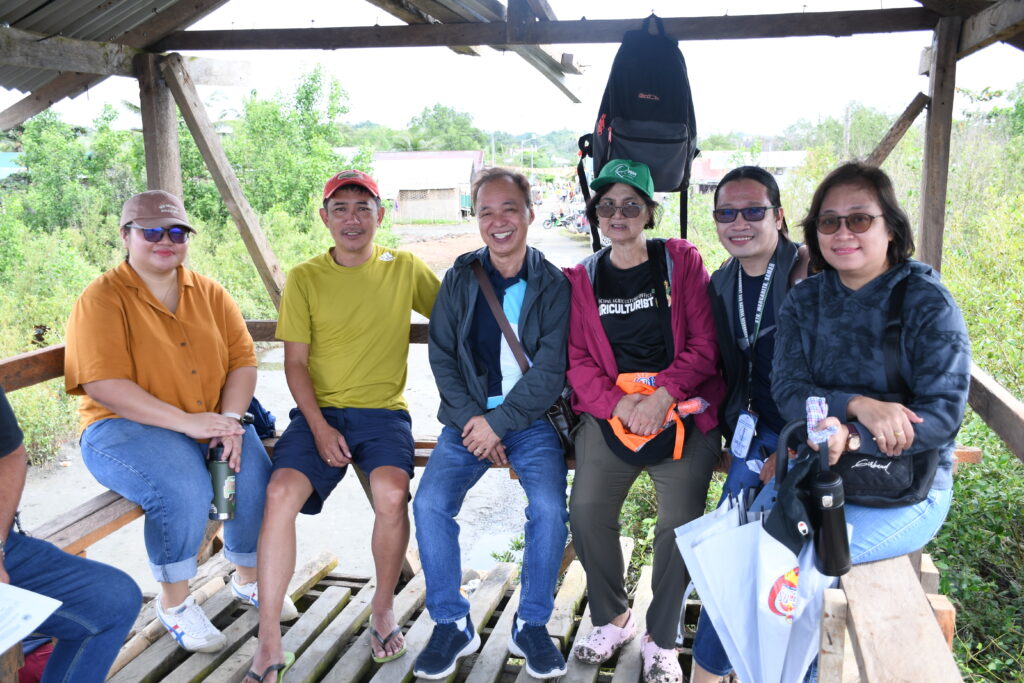
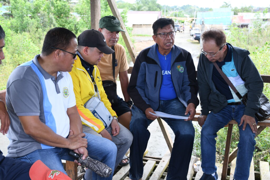
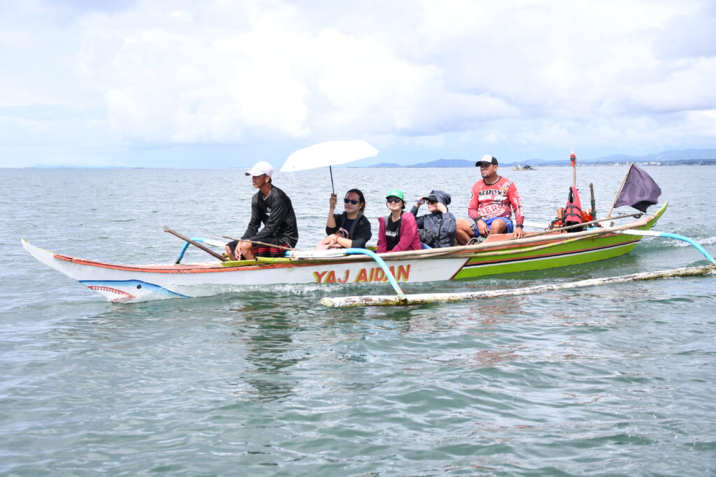
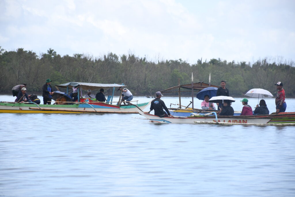
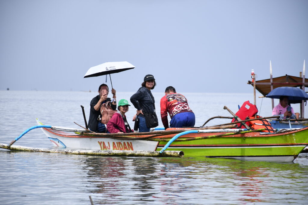
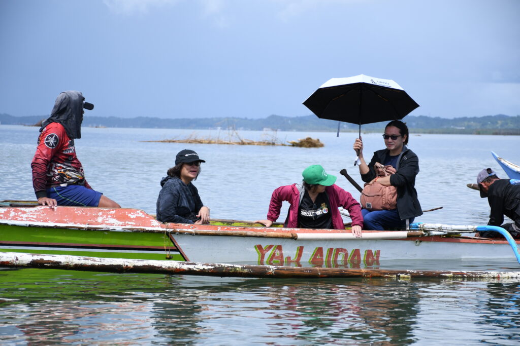
Members of the Joint Sta. Margarita-Gandara Coastal Terminal Point Inspection Team delineate the municipal water boundaries between the two municipalities under the Samar Sea Alliance of Local Gover Units for Fisheries Management and Development (SASAFMD) coverage areas. (Photos: Marlon James R. Catalan | MIO)